Based on our long scientific work experience and our documented and nationally and internationally recognized specialization and scientific core competence in the conception and development of advanced field measurement approaches, geomorphologic process monitoring techniques/methods and field instrumentations, we offer qualified consultancy services related to the quantitative analysis and reliable risk estimation of (i) earth surface processes in anthropogenically disturbed earth surface areas and of (ii) hazardous slope and fluvial (hydrological) processes through, e.g.,
- Detailed field mapping,
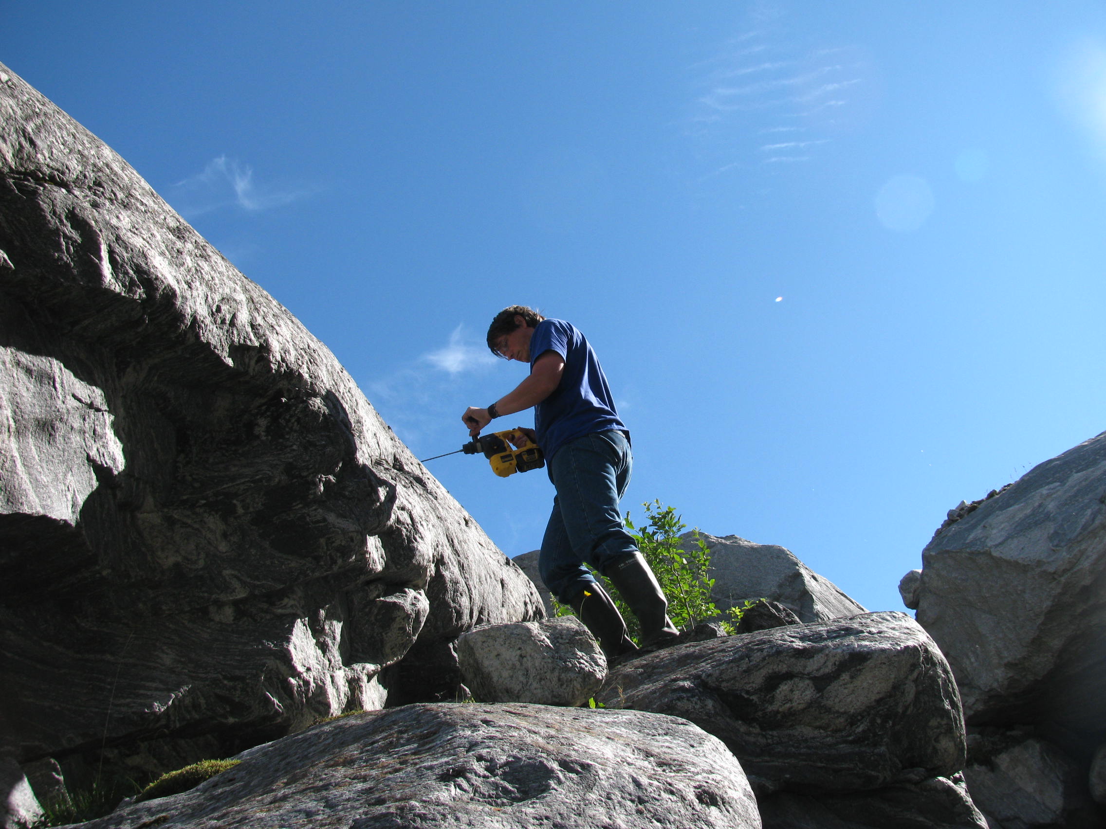
- Detailed field surveys of physical soil properties, rock strength and morphometric slope and terrestrial terrain parameters,
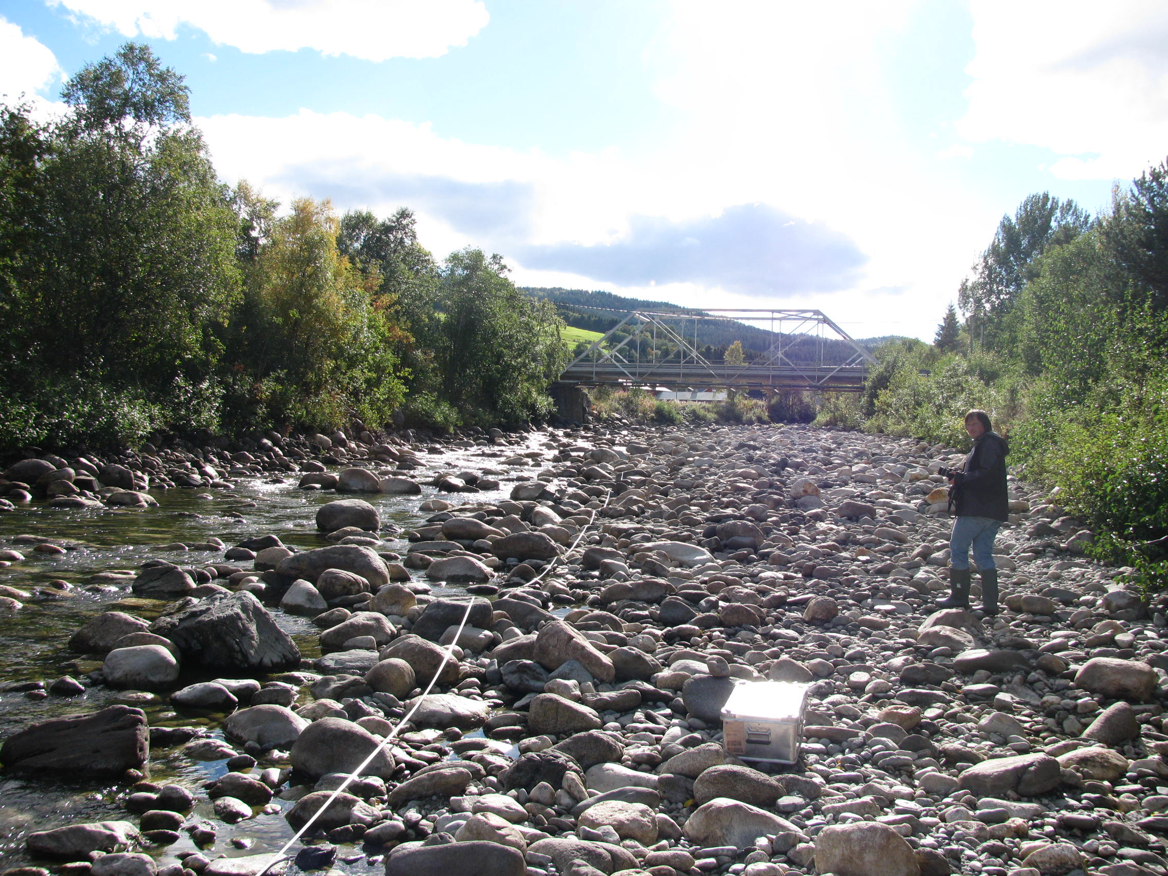
- Detailed morphometric and granulometric field surveys in stream channels,
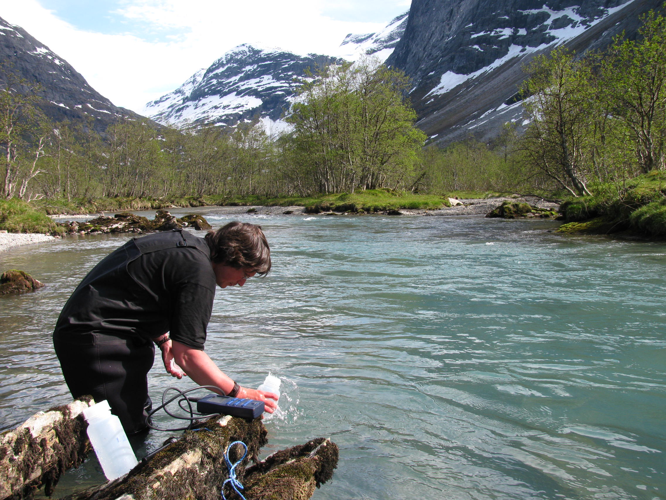
- Well-designed field sampling programs (including water, soil, sediment and rock samples),
- Qualified statistical analyses of existing meteorological and hydrological data sets and time series,
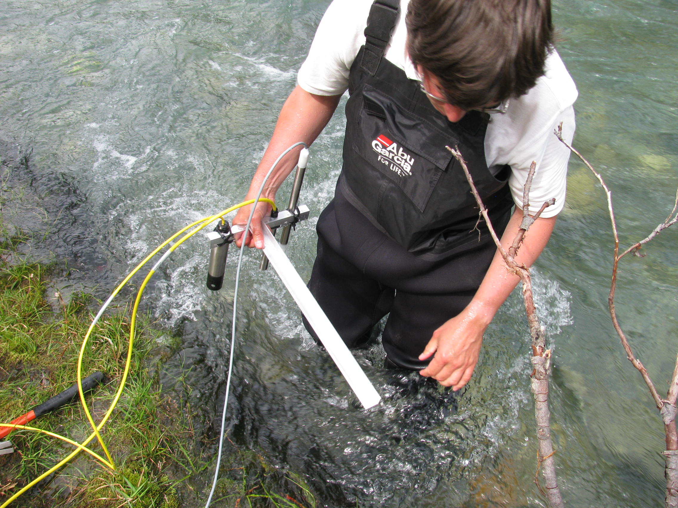
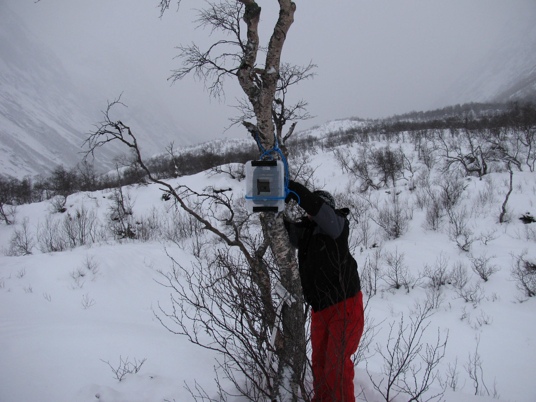
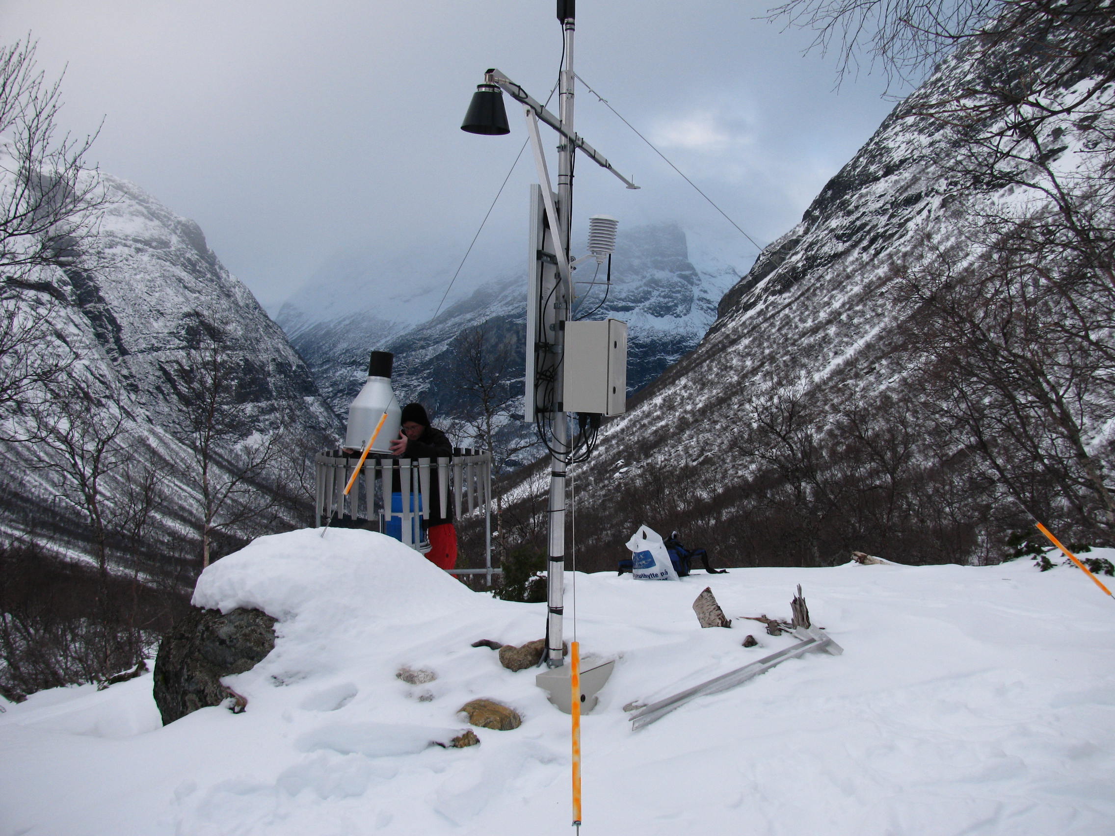
- Well-designed and advanced field instrumentations for meteorological, hydrological and geomorphologic observations and monitoring,
- Automated, continuous and high-resolution earth surface processes field observations,
- Automated, continuous and high-resolution meteorological, hydrological and earth surface processes field monitoring programs.
Our offered consultancy services are based on our nationally and internationally documented and recognized scientific competence in
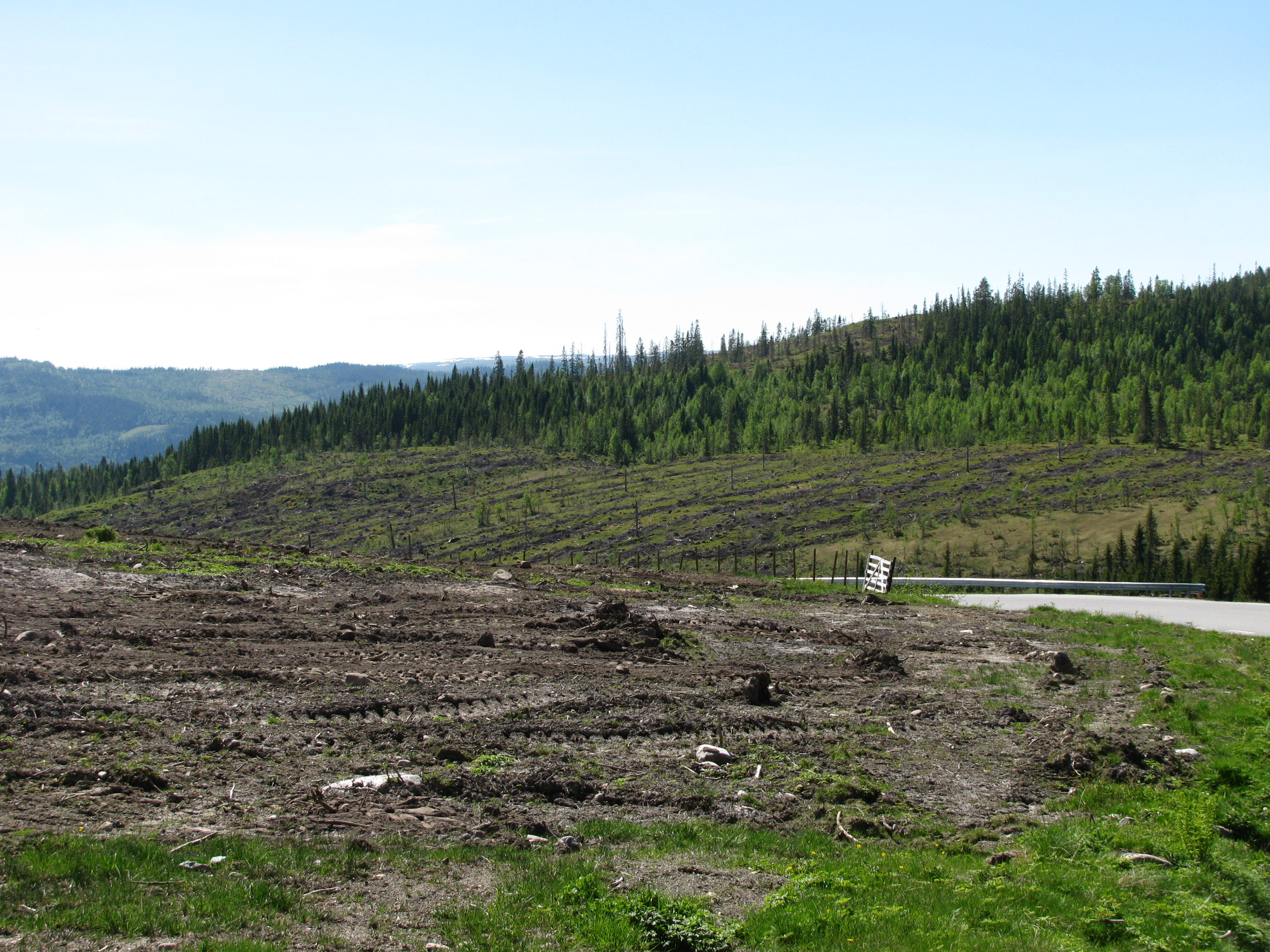
- The qualified scientific analysis of drivers, mechanisms, rates, functional interconnections and complex effects of fluvial solute, nutrient and sediment transport in natural and anthropogenically (e.g. dams/water power, bank protection, gravel extraction, forestry, agricultural use, artificial drainage systems, terraces, sealed surface areas, buildings, roads and railway tracks and related cuts) modified fluvial geo-ecosystems,
- The qualified scientific analysis of mechanisms, rates and complex effects of soil erosion and of terrain and slope stability/instability in anthropogenically (e.g. forestry, agricultural use, artificial drainage systems, terraces, sealed surface areas, buildings, roads or railway tracks and related cuts) disturbed earth surface areas, and
- The qualified scientific analysis of hazardous earth surface processes including the detailed mapping, continuous observation and monitoring of hazardous slope processes and fluvial/hydrological (flooding) events, the detection and understanding of triggering factors and mechanisms, and qualified hazard risk estimations.
For further information on our offered consultancy services and for any questions and inquiries please contact Dr. Achim A. Beylich (Head of operations at GFL). We are a member of Næringsforeningen i Trondheimsregionen (NiT) and Næringsforeningen i Værnesregionen (NiV).